Web App for GTFS visualization
 gtfs-app
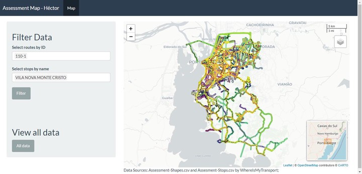
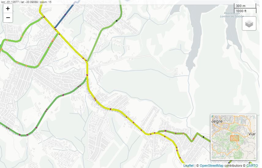
A pilot web app to read GTFS (.zip) files and show the spatial objects in a map with features like filters and search buttons to manage data efficiently. The application will also allow running some basic validations to identify missing required fields or files in the GTFS.
Base de datos
The app is connected to a relational database with the required datasets, the idea it’s to include the main fields and datasets of the reference page.
New features are coming soon. The idea is to have an application in which a user can upload a GTFS (.zip) file and run processes. New features will be implemented according to different needs.
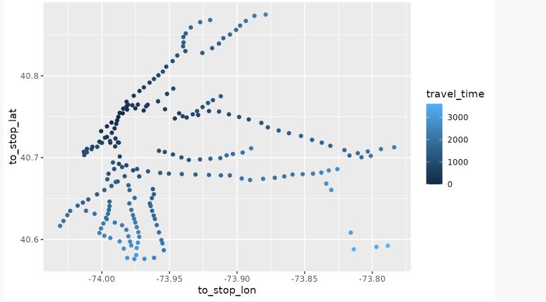
- Calculate travel times
- Analyze route frequency and headways
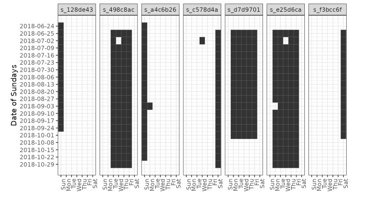
- Analyze calendar data
- Create timetables for stops
Base de datos
Base de datos
The progress of the app is available at this Link. Currently, the app has a visualization interface with basic filter inputs.
Héctor Báez
Geologist Engineer
My research focuses on spatial data analysis, GIS, and web development to share knowledge of geospatial data.